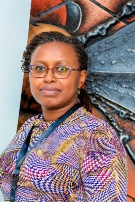
Maggie McClure is the Project Development Co-Lead at 3T, where she anchors the team’s technical capabilities as a Remote Sensing and GIS Specialist. She provides land-use, land-cover, and biomass analysis to support project design, monitoring, and reporting. Her work focuses on applying geospatial and remote sensing tools to improve the accuracy, transparency, and integrity of forestry and carbon projects.
Maggie brings over 7 years of experience across engineering, environmental science, and community-based land management. Her expertise spans biomass monitoring and data analysis, complemented by hands-on experience in agroforestry and restoration.
Prior to joining 3T, Maggie was a Research and Teaching Assistant at the University of Tokyo, where she analyzed long-term geospatial and climate datasets. She has also served as a Peace Corps Agricultural Extension Volunteer in Northern Tanzania, implementing community-led food security, agroforestry, and afforestation initiatives in partnership with local government and farmer groups.
Currently a PhD candidate in Global Forest Environmental Studies, Maggie’s research focuses on integrating remote sensing technologies for land-cover change and biomass monitoring. She holds a BSc in Chemical Engineering from Arizona State University and an MSc in Forestry from the University of Tokyo, with additional collaborative research completed at the University of Bonn (ZEF). Her technical toolkit includes Google Earth Engine, ArcGIS, R, and Python.
Maggie’s work is driven by a commitment to science-based environmental stewardship and community partnership, utilizing data to bridge high-level technical expertise with real-world sustainable land management.
Other Team Members

Ian Shimizu

Jo Choi

Solomon Yamoah

Misaki Matsuo

Dominique Hayward

Thomas Ansre

Gabriel Quaye

Dr. Kwakye Ameyaw

Dr. Lukeman Haruna

Luck Kafando
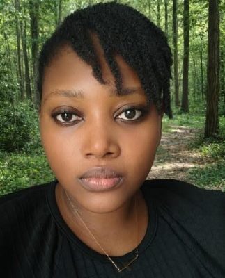
Elfreda Afful

Dr. John Mudekwe
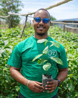
Charlie Vincent
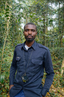
Etornam Dziafa

Jacqueline Joyce Twintoh

Prince Yeboah Okyere
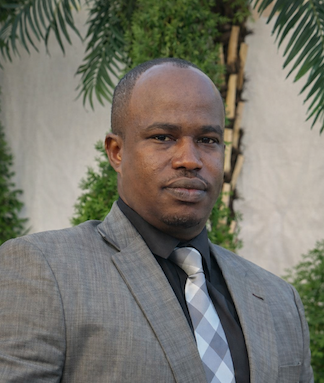
Felix Rurangwa
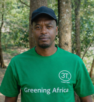
Kizito Mfashubumenyi
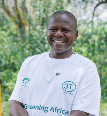
Professor Jumanne Moshi Abdallah
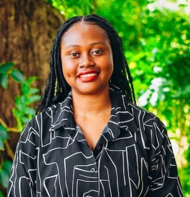
Marylisa Michael Wanga
Mbui Alquin Senga

Tom Rivett-Carnac

Masaya Hasegawa

Eswar Mani

James Eaton

Brian McFarland

EJ Choi